
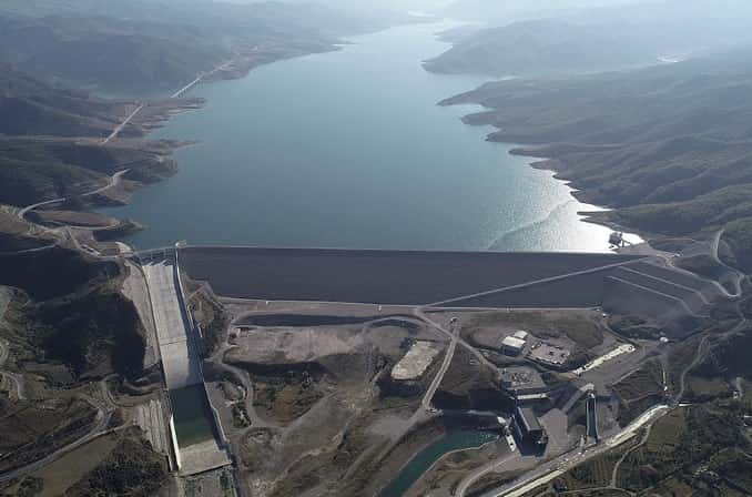
 EBS project/location image
EBS · Engineering consultancy · Tirana
Bathymetric and hydrometric surveys
Understand the bed, water body and measurement conditions before making decisions about reservoirs, river structures and water infrastructure.
Connect underwater and land information
Bathymetric information supports the assessment of reservoir geometry, riverbeds and the interfaces between underwater conditions and structures. Where required, combining land and underwater surveys gives designers a more coherent picture of the site.
EBS's recorded work includes Banja and Moglica reservoirs, Lake Shkodra and combined topographic, bathymetric and sediment studies at lakes in Kosovo. The records distinguish single-beam and MultiBeam Echosounder (MBES) methods and the specific survey scope. Hydrometric monitoring is a related service that can be scoped separately.
Define the measurement programme
- Single-beam and MultiBeam Echosounder (MBES) bathymetric surveys
- Combined topographic and underwater models
- Reservoir and riverbed survey information
- Sediment-study inputs within the agreed scope
- Hydrometric measurements and monitoring requirements
Prepare a usable brief
Send the water-body location, survey boundary, intended use, water-level reference and any previous measurements. Describe whether you need baseline geometry, comparison with an earlier survey or information for a particular hydraulic structure. Access and operating conditions form part of the survey planning.
Our project experience
See our work.
EBS project/location image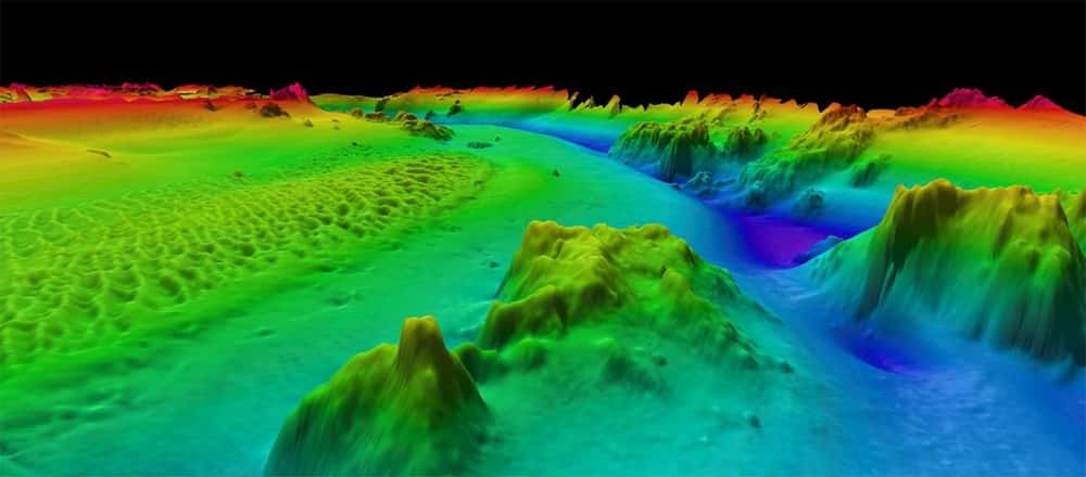 Representative EBS bathymetric-survey image
Gjakova, Kosovo
Topographic, Bathymetric and Sediment Analysis Study of Lake Radoniq
Topographic Survey · Bathymetric Survey
View project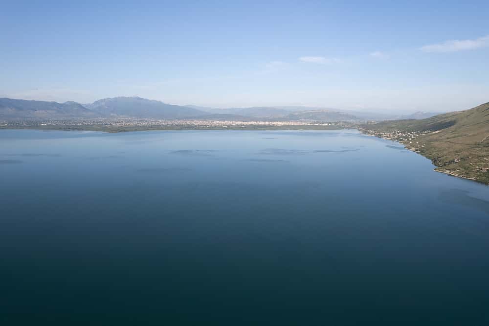 Location reference image
Shkodra, Albania
Bathymetric Study of Lake Shkodra
Topographic Survey · Bathymetric Survey
View projectThe next step
All projects →